

Government Camp 7 Day Weather Forecast
View Government Camp 7 Day ![]()
Tuesday
Chance Rain/Snow and Patchy Fog
29°/37°
Wednesday

Mostly Sunny
33°/41°
Thursday
Rain/Snow Likely then Chance Showers
33°/43°
Friday
Chance Rain/Snow then Chance Showers
35°/44°
Saturday

Chance Showers
38°/48°
Sunday

Rain/Snow Likely
36°/45°
Monday
Rain/Snow then Snow
36°/43°
Tuesday: A chance of snow showers before 2pm, then a chance of rain and snow showers. Patchy fog before 9am, then patchy fog after 4pm. Otherwise, partly sunny, with a high near 37. Calm wind. Chance of precipitation is 30%. Little or no snow accumulation expected.
Tuesday Night: A 20 percent chance of snow showers before 10pm. Patchy dense fog before 1am. Otherwise, partly cloudy, with a low around 29. Calm wind.
Wednesday: Mostly sunny, with a high near 41. Light east wind.
Wednesday Night: Rain and snow likely, mainly after 4am. Snow level 4700 feet. Mostly cloudy, with a low around 33. Calm wind. Chance of precipitation is 60%. Little or no snow accumulation expected.
Thursday: Rain and snow showers likely before 10am, then a chance of rain showers. Snow level 5000 feet. Mostly cloudy, with a high near 43. Chance of precipitation is 60%. Little or no snow accumulation expected.
Thursday Night: A 30 percent chance of showers, mainly before 10pm. Snow level 5200 feet. Partly cloudy, with a low around 33.
Friday: A slight chance of rain and snow showers before 10am, then a chance of rain showers. Snow level 5200 feet rising to 5800 feet in the afternoon. Partly sunny, with a high near 44.
Friday Night: A chance of showers. Mostly cloudy, with a low around 35.
Saturday: A chance of showers. Mostly cloudy, with a high near 48.
Saturday Night: Rain likely. Mostly cloudy, with a low around 38.
Sunday: Rain likely, possibly mixed with snow. Mostly cloudy, with a high near 45.
Sunday Night: Rain and snow likely. Snow level 5500 feet lowering to 4900 feet after midnight . Mostly cloudy, with a low around 36.
Monday: Snow, possibly mixed with rain. Mostly cloudy, with a high near 43.
ROD'S WEATHER NOTES Rod's 5-day ski forecast returns mid-November.

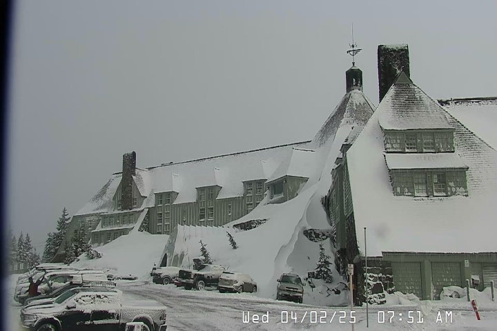
Timberline Lodge
31ºF| Elevation | 6,000' |
| Wind | @ mph |
| Wind Chill | °F |
| 24-Hour Snow | 0" |
| Base | 0" |
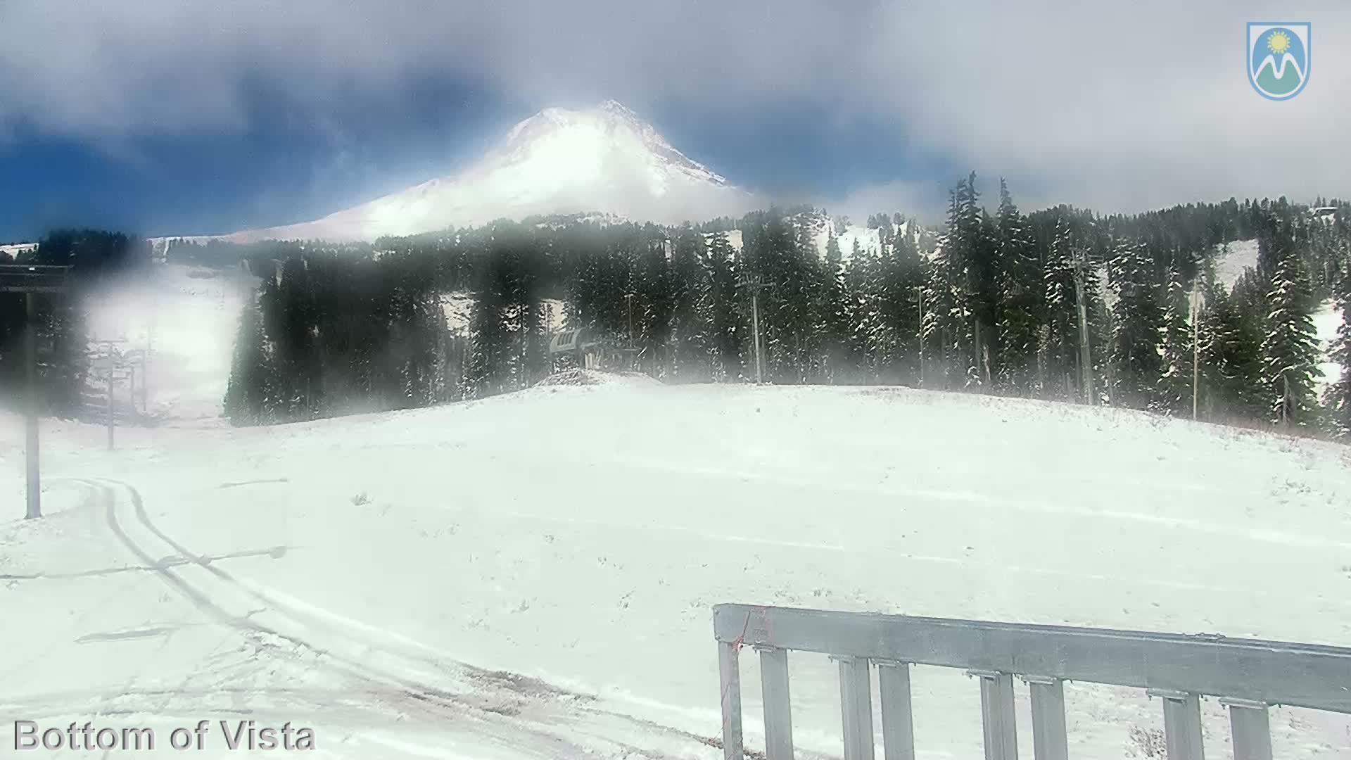
Mt Hood Meadows
31ºF| Elevation | 5,380' |
| Wind | @ mph |
| Wind Chill | °F |
| 24-Hour Snow | 0" |
| Base | 0" |
Skibowl
29ºF| Elevation | 5,010' |
| Wind | NNW @ 6.0 mph |
| Wind Chill | 23°F |
| 24-Hour Snow | 0" |
| Base | 0" |
GOVERNMENT CAMP FORECAST
Tuesday : A chance of snow showers before 2pm, then a chance of rain and snow showers. Patchy fog before 9am, then patchy fog after 4pm. Otherwise, partly sunny, with a high near 37. Calm wind. Chance of precipitation is 30%. Little or no snow accumulation expected.
Tuesday Night : A 20 percent chance of snow showers before 10pm. Patchy dense fog before 1am. Otherwise, partly cloudy, with a low around 29. Calm wind.
Wednesday : Mostly sunny, with a high near 41. Light east wind.
Wednesday Night : Rain and snow likely, mainly after 4am. Snow level 4700 feet. Mostly cloudy, with a low around 33. Calm wind. Chance of precipitation is 60%. Little or no snow accumulation expected.
Thursday : Rain and snow showers likely before 10am, then a chance of rain showers. Snow level 5000 feet. Mostly cloudy, with a high near 43. Chance of precipitation is 60%. Little or no snow accumulation expected.
Thursday Night : A 30 percent chance of showers, mainly before 10pm. Snow level 5200 feet. Partly cloudy, with a low around 33.
Friday : A slight chance of rain and snow showers before 10am, then a chance of rain showers. Snow level 5200 feet rising to 5800 feet in the afternoon. Partly sunny, with a high near 44.
Friday Night : A chance of showers. Mostly cloudy, with a low around 35.
Saturday : A chance of showers. Mostly cloudy, with a high near 48.
Saturday Night : Rain likely. Mostly cloudy, with a low around 38.
Sunday : Rain likely, possibly mixed with snow. Mostly cloudy, with a high near 45.
Sunday Night : Rain and snow likely. Snow level 5500 feet lowering to 4900 feet after midnight . Mostly cloudy, with a low around 36.
Monday : Snow, possibly mixed with rain. Mostly cloudy, with a high near 43.